Mapping Innovations
Mapping is an often-overlooked resource for consistently locating fish — both in real-time on the lake and a big part of your pre-fishing routine before you get to the lake. In this (Technologies) section, we will be discussing the various mapping/charting solutions that are available for use on the water. There are many other resources and techniques that should be a part of your pre-fishing routine that are covered in more detail in the Training section of this site.
Base Maps
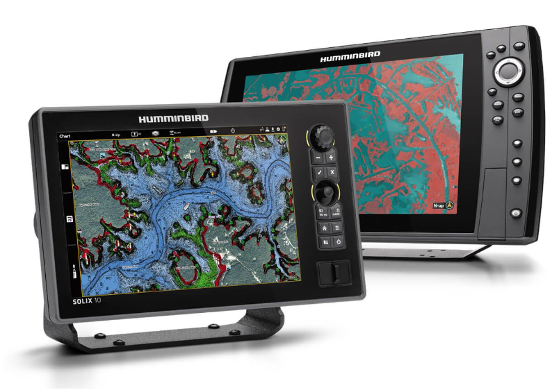
All 3 of the major manufacturers of depth finders ships with a base map or other optional charts. The more popular/accurate charts are available on SD cards that plug into your unit.
Map Cards
At the time of this writing, LakeMaster and Navionics are the most popular options. LakeMaster maps are only compatible with Humminbird units. Navionics is compatible with Garmin, Lowrance, and Humminbird. So, which is the best, most accurate? This depends on the lake. The accuracy of these charts depends on how the chart data was obtained. The most accurate data comes from Sonar surveys. On some lakes LakeMaster is the most accurate. In others it may be Navionics. It depends which company (if any) mapped the lake with sonar. In the case of Lake Brownwood, my home lake, the answer is neither. This is the case with many lakes.
Live Mapping
The most accurate maps are those you map yourself with your sonar device. All 3 major brands of depth finders have live mapping capibilities. Humminbird for example has the AutoChart feature. You simply start recording and survey the lake yourself. Garmin and Lowrance units offer similar features. Although it is not practical to survey the entire lake, it is not that difficult to map specific areas of interest.
The question is “why bother”. Check out the example below. Click and drag the arrow on the right of the image. As you drag the arrow to the left, the image will reveal a point that does not show on the LakeMaster or Navionics chart.
If you were on the lake and failed to notice that point, it is likely that you also failed to notice that big school of white bass on that point. The video below was recorded on that point.
The video above was recorded with Garmin LiveScope using the Active Captain iPhone app. We removed the hooks from a slab spoon in order to have the white bass chase without getting hooked.
For more information, see the Live Sonar section under Technologies and in the Training section of this website.
Dave’s Boat
In our boats, we use both Navionics and LakeMaster map cards. On our home lake, (Lake Brownwood), LakeMaster is more accurate in some areas of the lake and Navionics is more accurate in others. However, we Live-Map all of the areas of the lake that are the most productive. We use Humminbird’s AutoChart to map these areas.
Mapping with AutoChart
AutoChart is a feature of most Humminbird depth finders. Garmin and Lowrance have similar features and are great options if they are your primary devices.
You simply start recording and AutoChart immediately begins replacing your base map in real-time. You can survey a specific area or just start recording and it will map as you fish. For best results, follow the instructions provided in your owners manual or see the Training section of this website.
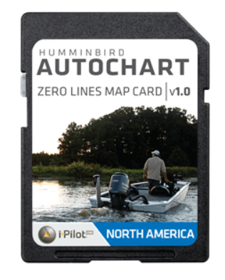
Without a special map card, AutoChart saves the recording on the hard drive of your device. This gives you several hours of recording. However, this is limited. Once the limit is reached, AutoChart begins deleting the oldest recording. Another limitation is that the map recorded on the device cannot be transfered to another device. The solution to this is Humminbird’s ZERO LINE map card.
Zero Line Map Card
You can simply insert a Zero Line card into your unit and it will begin saving your recordings to the card. This provides 16 GB of space for your maps and allows you to plug you custom maps into any compatable unit. These Zero Line cards retail for $99.99 and are available here at Daves Sonar or at most Humminbird retailers.
AutoChart PC/PC Pro
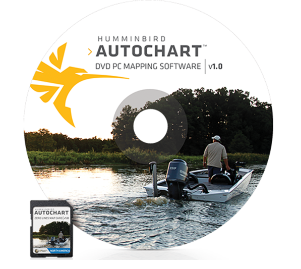
AutoChart has a PC version that allows you to upload your recordings to your computer and compile custom maps that can be also used on any compatible device. We use this program to gather recording from other users to compile our master maps. It also allows us to view the maps on the computer to study and work with off of the water. Other features include 3d renderings that really help get a good picture of what is below the surface. AutoChart PC retails for $199.99 and is also available here at Daves Sonar.
LakeMaster Chart Integration
Although the Navionics map card will work on Humminbird units, many of the advanced features will only work with the LakeMaster card. Features such as Following the Contour will only work with the LakeMaster card or the AutoChart maps that you build yourself. LakeMaster and Navionics map cards retail for $149 and are available here at Daves Sonar.

Navionics Map Card
$149.00

LakeMaster Map Card
$149.00

Zero Line Map Card
$99.99

Auto Chart PC
$199.99

